Geomatics & GeoAI
Services
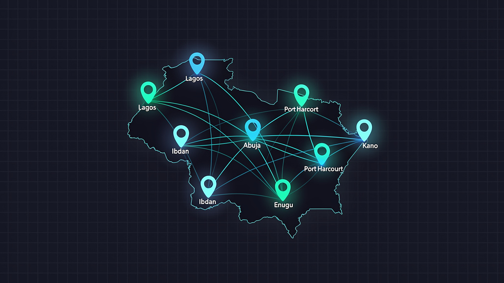
Precision Spatial Solutions for Nigeria's Future
We deliver advanced geodata processing, artificial intelligence, and spatial analytics for diverse sectors across Nigeria.
Precision Spatial Solutions for Nigeria's Future
We deliver advanced geodata processing, artificial intelligence, and spatial analytics for diverse sectors across Nigeria.
Advanced spatial solutions for modern challenges
Geodata processing, surveying, and spatial analysis for precise and reliable results.
Artificial intelligence for spatial data analysis and predictive geographic modeling.
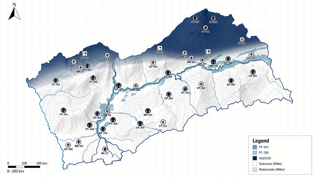
Geographic information systems for efficient data management and visualization.
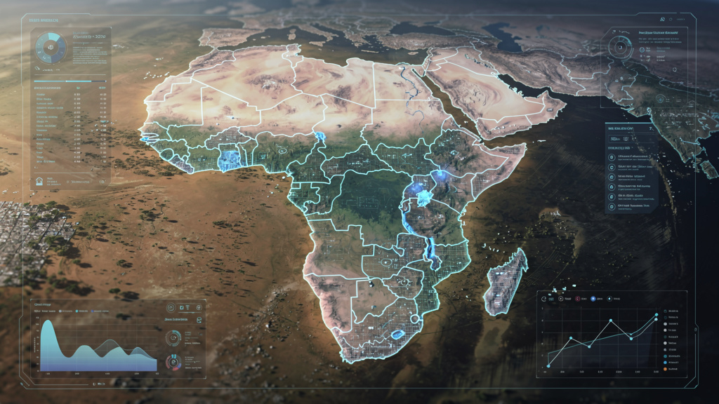
Satellite and aerial imagery analysis for comprehensive environmental monitoring.
Tailored solutions for diverse industries
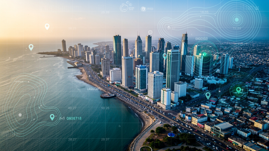
Smart urban development and infrastructure design.
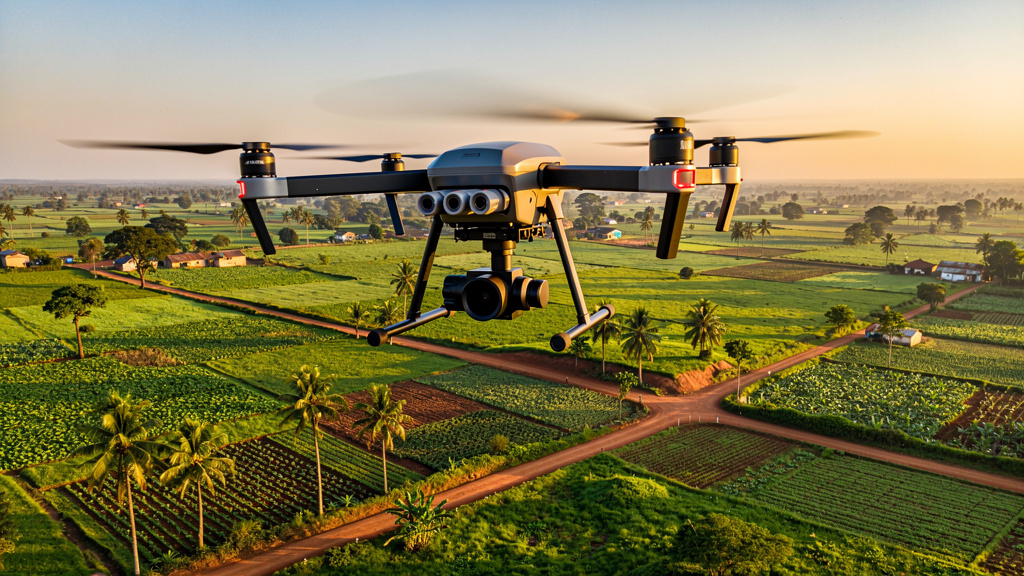
Precision farming and resource management.
Early detection and risk analysis for natural disasters.
Monitoring and protection of natural resources.
Optimizing transport networks and logistics planning.
Site analysis and infrastructure planning for energy projects.
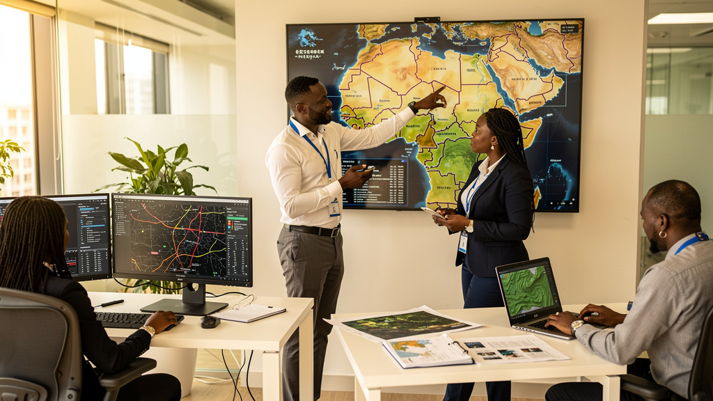
We are a leading geomatics and GeoAI services company in Nigeria, combining cutting-edge technology with deep understanding of local challenges to deliver tailored solutions across multiple sectors.
Our team of experienced geospatial experts and AI specialists collaborates closely with clients to develop innovative solutions that create real value -- from urban planning to environmental protection, from precision agriculture to disaster risk assessment.
Years of Experience
Projects Delivered
Industry Sectors
Let's discuss your next project
Lagos, Nigeria
info@impactmaps.ng
+234 123 456 789